#gis

80 posts · Last used 20h

Hello! Nitilo turns a file into a link anyone can open: fullscreen, in the browser, no account, no install. Drawings, building models, 3D parts, maps, databases, notebooks, slides. 154 formats, read on your own device; nothing is uploaded until you choose to share. The 70-second tour: https://youtu.be/irfURxZFHgc I'm Victor, I build it. Tell me which file you most often send to someone who can't open it. #introduction #BIM #CAD #GIS #WebApps

Send any file as a link anyone can open — Nitilo

0
0
1
0
Boosted by @fedicat@pc.cafe
Mapstodon.space is a Mastodon server for cartography & geospatial people including professionals and enthusiasts. Ask questions, share your maps, chat around, enjoy the emojis! :Fediverse: https://mapstodon.space You can find out more at https://mapstodon.space/about or contact the server admin @jeremy@mapstodon.space#FeaturedServer #Maps #Geospatial #Cartography #Mapping #Geography #GIS #Mastodon #Fediverse #FreeFediverse
0
0
4
0
☝️ What happens when you treat terrain morphometry like satellite bands? ⚙️ An experimental RGB composite of an industrial micro-catchment in Kryvyi Rih, synthesized directly from DEM hydro-conditioned derivatives: 🔹 Red: Channel Network Distance (hydraulic connectivity) 🔹 Green: Total Catchment Area / Flow Accumulation (upscale contributing mass) 🔹 Blue: LS-Factor / Slope Length-Steepness (RUSLE physical erosion capacity). ⚙️ The color mixing immediately separates the basin into physical domains: 🔹 Bright magenta/neon ribbons: Critical erosion and transport vectors where steep slope length converges with active channel flow. 🔹 Vibrant green zones: Planar accumulation sectors and potential geochemical sedimentation traps. 🔹 Dark interfluves: Geomorphologically stable plateau surfaces. #Geomorphometry #Hydrology #SpatialData #RStats #SAGAGIS #TerrainAnalysis #DEM #EnvironmentalGeology #GIS #DataVisualization #InhuletsRiver
0
0
0
0
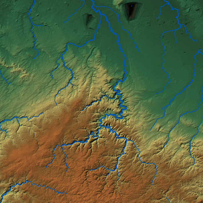
⚠️ Why standard GIS routing (D8, Sink Fill) fails in complex mining regions: 300m open pits become fake "lakes", and underground river tunnels are completely ignored. To map surface drainage across central Kryvyi Rih, I built a custom DEM hydro-conditioning pipeline: 🔹 Selective sink filtering (true pits vs DEM noise) 🔹 Subsurface conduit burn-in (diversion tunnels) 🔹 Closed micro-catchment delineation Crucial for geochemical transport & geotechnical risks. 🛠️ #RStats (#terra, #Rsagacmd), #QGIS, #SAGAGIS #GIS #Hydrology #HydroEnforcement #FOSSGIS #Mining #Geospatial #KryvyiRih #DigitalTerrainAnalysis
0
0
0
0